
Hopefully, looking at Ocean, Freshwater, and Us through this rich and interconnected cartographic lens will meaningfully inform and inspire Indigenous and non-Indigenous people as we work together to better protect the water around us.
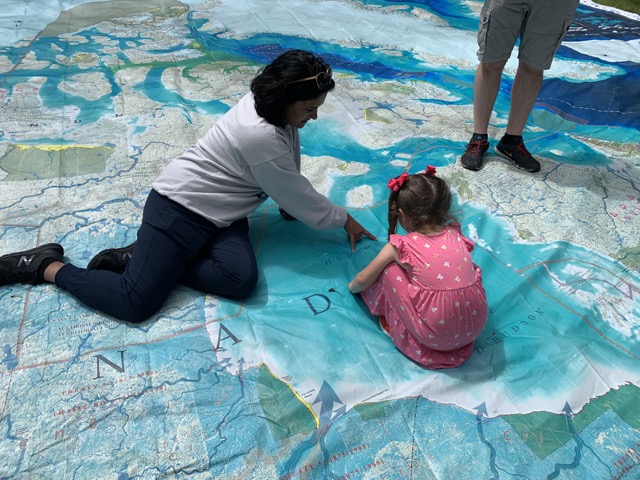
Did you know all waterways are connected? There’s nothing like following the flow to REALLY wrap your head around this incredible fact! The Ocean, Freshwater, and Us map was developed as a learning and engagement tool for schools, libraries, museums and aquariums, conferences, and other public spaces and events to use during the Ocean Week Canada celebrations and throughout the UN Ocean Decade (2021-2030).
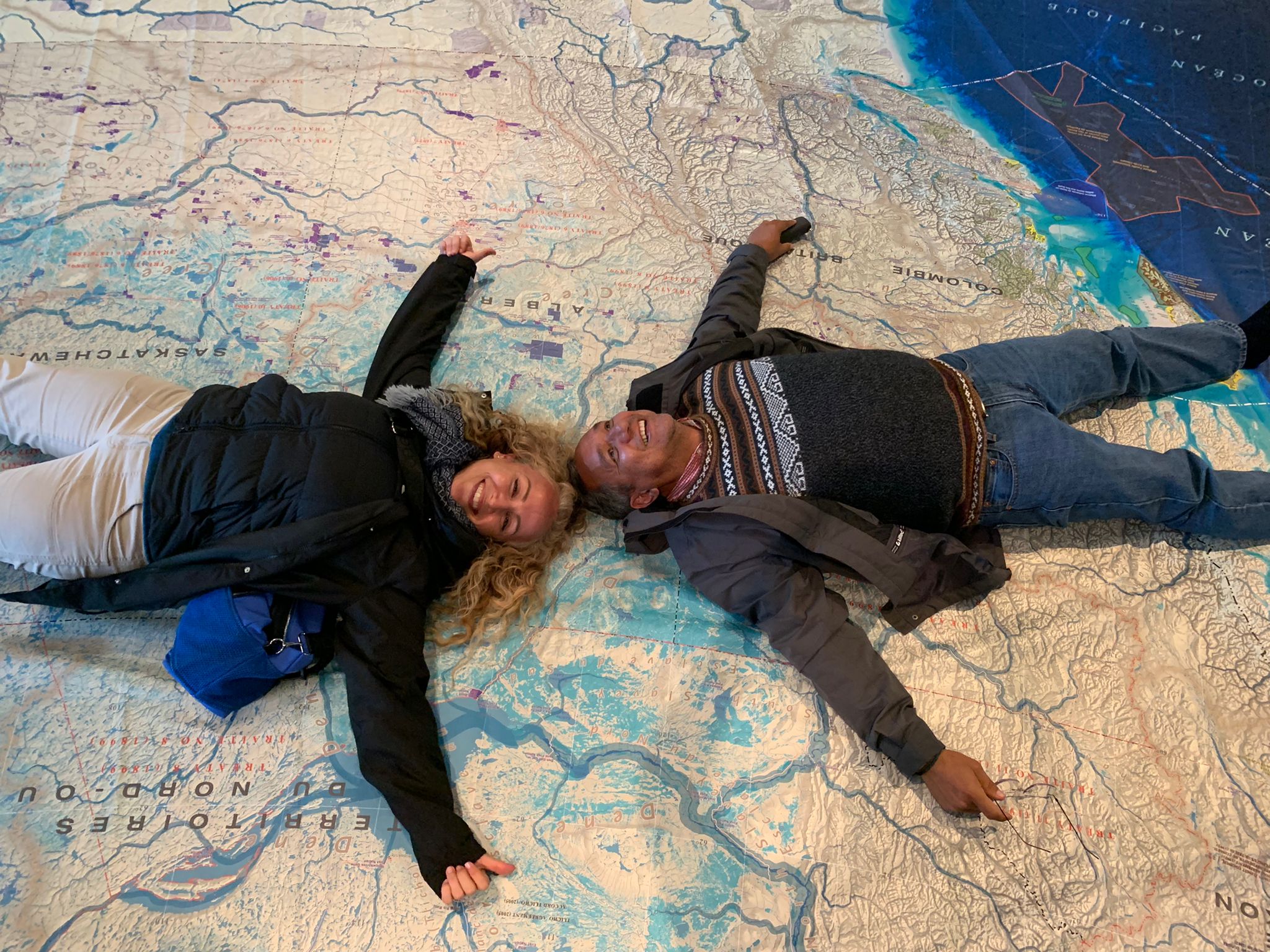
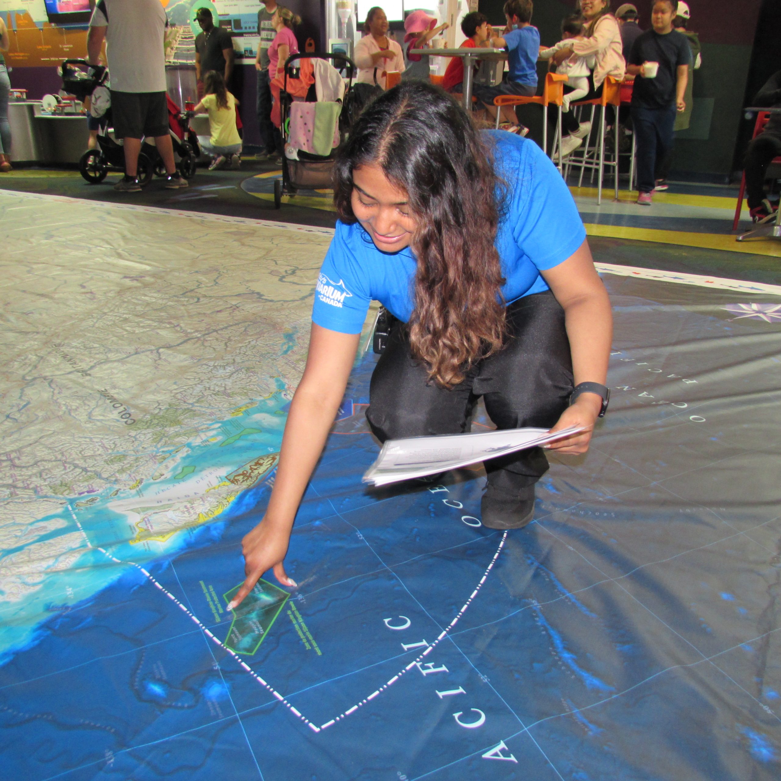
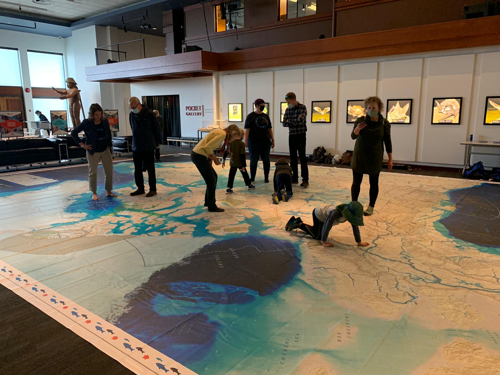
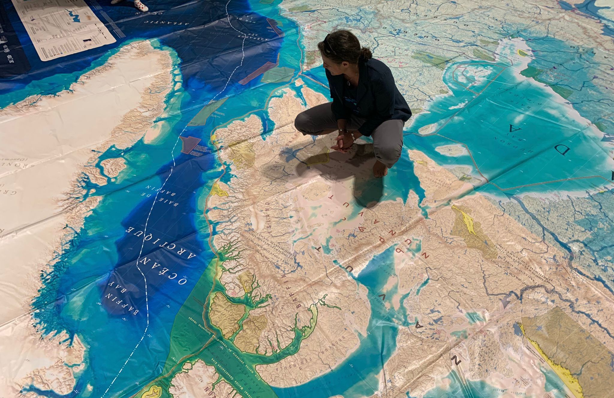
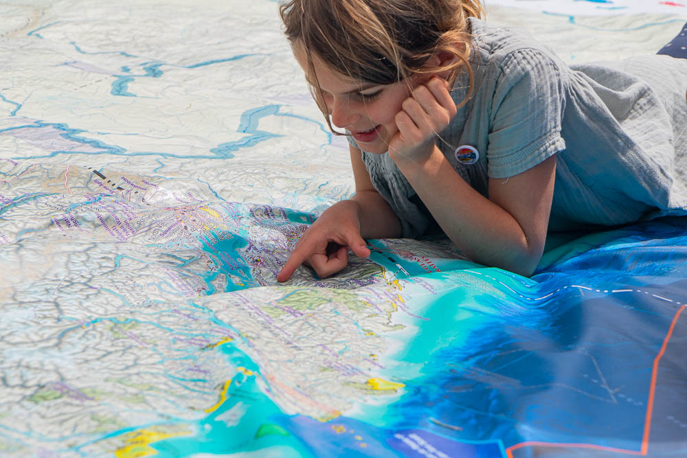
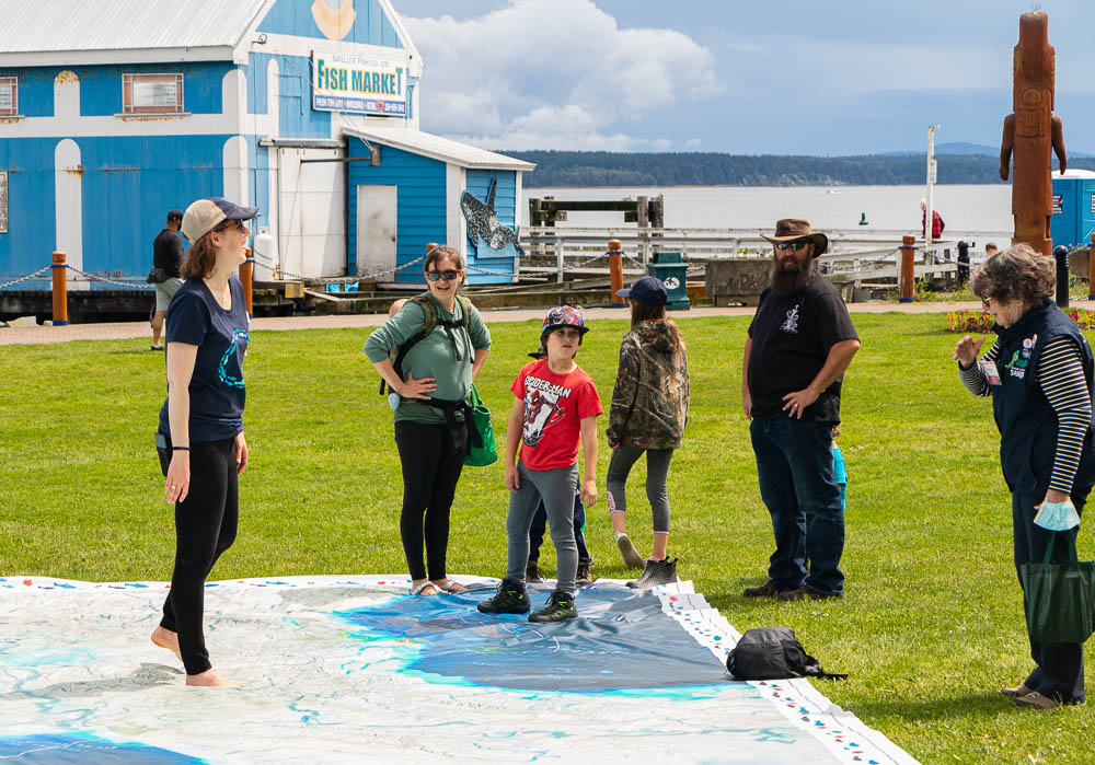
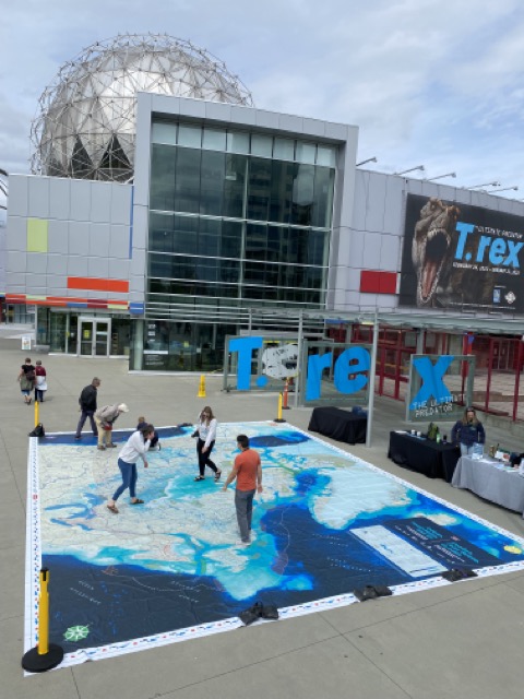
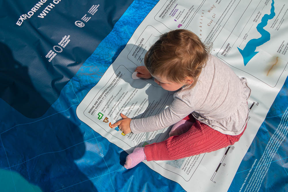
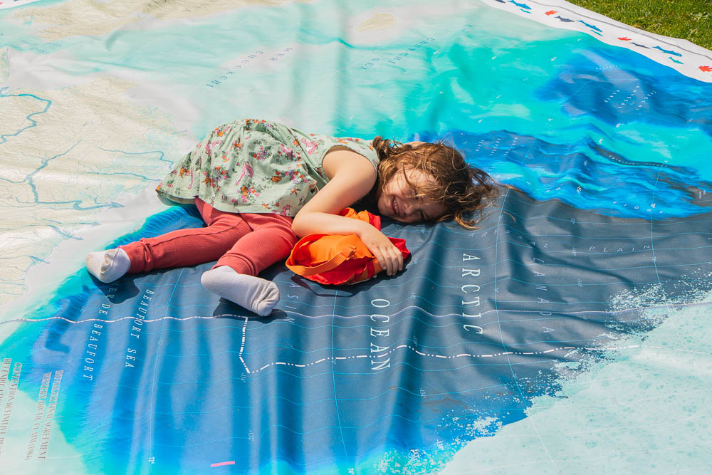
The giant floor maps come in 3 sizes: full size (11m x 8m), classroom size (8m x 6m), and mini size (5.25m x 4m). These maps are made for walking on, allowing you to understand the ocean and waterways by physically experiencing them! Augmented Reality, 360 video, and other interactive activities will help bring this giant map to life!
Copies of the Ocean, Freshwater, and Us map are traveling across the country, some dedicated to teachers and schools, and some dedicated to organisations and events. Download the map flyer here. Book the map for your event, organization, or school!
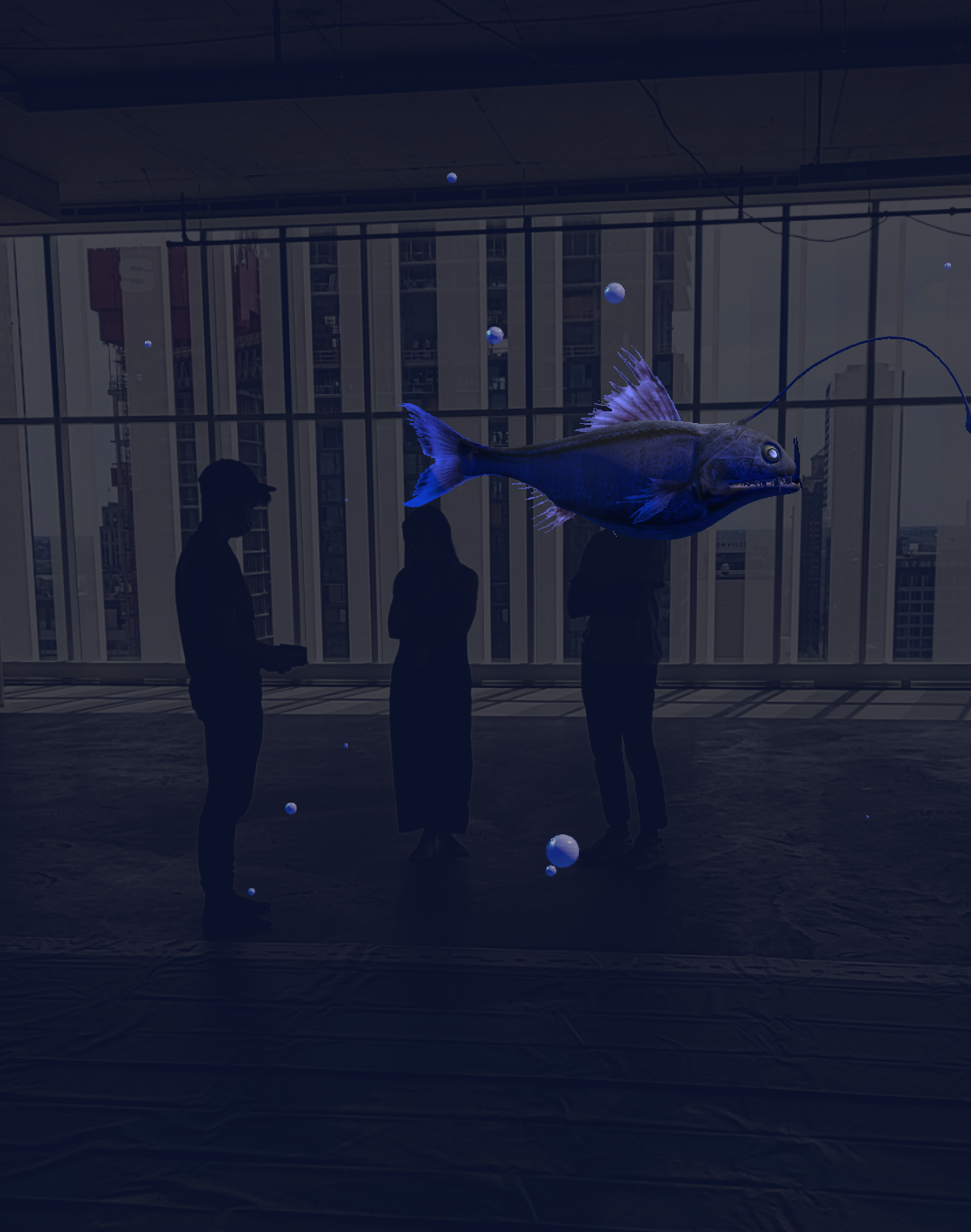
The Ocean Canada augmented reality app lets you discover Canada’s ocean waters and watersheds in a brand new way. Through augmented reality, discover the various ways Canada is working to protect the ocean and freshwater areas. Explore your personal connection to the ocean. Take an immersive trip to the bottom of Atlantic Canada’s first marine protected area, “the Gully” as you travel to the surface discovering the unique species that call the Gully home.
Also integrated into the augmented reality experience, you can enjoy two Ocean Week Canada video collections, including Coastal Stories curated by the SOI Foundation, and Indigenous Water Guardians, curated by the Indigenous Leadership Initiative and partnering communities. You can also enjoy immersive 360˚ videos produced by Ocean School.
In the Background Guide you will find 17 fun activities to help activate the map with various audiences. These activities are organized around the five broad Ocean Week Canada key messages. (View poster here). You will also find helpful information about the map, including supporting materials, and how to fold, use, care for, and ship the map.
In the Canadian Geographic Education Teacher Handbook, educators will find 5 curriculum-linked learning activities to engage students. You will also find clear instructions on activating the Augmented Reality app for use with or without the giant floor map.
Ever wondered how we fold these giant 8m x 11m maps? Have you booked the map and now that it’s open, you need to know how to fold the map back up? Watch this quick timelapse to see how it’s done!
Special thanks to the Royal BC Museum for the video footage!
WATCH THE VIDEO
The title of this giant floor map is perfectly descriptive of its content. It is a map that highlights the foundational connections between ourselves and the water that surrounds and sustains us. The massive freshwater flow arrows highlight the reality that while few Canadians live close to the ocean, we are all connected to it by our local and ever-flowing lakes, rivers, and wetlands. And this connection is more than conceptual. What we put into local freshwater systems invariably flows to the ocean affecting delicate marine ecosystems sometimes thousands of kilometres from our homes.
Of course, human impact on the ocean is often more direct and this map also highlights our efforts to protect the ocean through a growing network of protected areas. There are no “one-size-fits-all” solutions to protecting ocean environments, and the different protected areas on this map reflect that reality; some removing certain fishing pressures, some limiting ship traffic and anchoring, some limiting or eliminating resource development, and some limiting or eliminating resource development, and some doing all of the above.
The human impact on water is, of course, determined by us. And the “us” shown on this map is perhaps the most fulsome ever shown on a Giant Floor Map. Not only does it include all villages, towns, and cities (heavily weighted towards the southern parts of the country), but it also shows the ubiquitous presence of Indigenous peoples throughout the entirety of what we now call Canada.
Hopefully, looking at Ocean, Freshwater, and Us through this rich and interconnected cartographic lens will meaningfully inform and inspire Indigenous and non-Indigenous people as we work together to better protect the water around us.
Hopefully, looking at Ocean, Freshwater, and Us through this rich and interconnected cartographic lens will meaningfully inform and inspire Indigenous and non-Indigenous people as we work together to better protect the water around us.